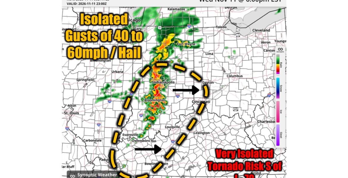
INDIANAPOLIS, Indiana — Storms are expected to roll across Indiana, Kentucky and Ohio on Wednesday evening November 11. Our team is watching for isolated wind gusts of 40 to 60 mph and hail, with the main window running from 4:00 PM to 9:00 PM ET. A very isolated tornado cannot be ruled out south of Interstate 70, though that risk looks low.
Key Numbers at a Glance
| Detail | Information |
|---|---|
| Main threat window | 4:00 PM to 9:00 PM ET Wednesday |
| Wind gusts | Isolated 40 to 60 mph |
| Hail | Possible in stronger storms |
| Tornado risk | Very isolated, mainly south of Interstate 70 |
| Main focus | Indiana, Kentucky and Ohio |
| Storm movement | West to east |
Where It Is Hitting
Our forecast radar for 6:00 PM EST Wednesday shows a line of storms moving through central Indiana, with the highest risk area stretching south into Kentucky:
- Indianapolis and Bloomington sit right in the path of the strongest storms shown at 6:00 PM.
- Kokomo and Fort Wayne in northern Indiana also see storms along the line.
- Cincinnati and Dayton in Ohio sit along the eastern edge of the risk area as storms move east.
- Louisville and Lexington in Kentucky are inside the outlined risk zone.
- Evansville, Owensboro and Bowling Green fall within the southern part of the zone.
Cities farther north, like Chicago and Toledo, look to stay mostly outside the main threat.
When to Expect It
- 4:00 PM ET: Storms start to strengthen across Indiana and western Kentucky.
- 6:00 PM ET: The line of storms crosses Indianapolis, Bloomington and areas to the south.
- 7:00 PM to 8:00 PM ET: Storms push east toward Louisville, Cincinnati and Dayton.
- 9:00 PM ET: The main threat begins to wind down as storms move farther east.
Why This Is Happening
A storm system moving across the middle of the country is pulling warm, moist air north ahead of a cold front. As the front pushes east, it lifts that air quickly, forming a line of thunderstorms. Strong winds a few thousand feet up can get pulled down to the ground inside storms, creating gusty winds.
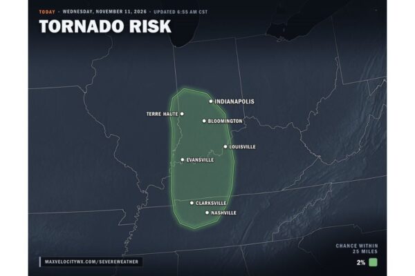
The setup also has a little bit of spin in the atmosphere south of Interstate 70, which is why a very isolated tornado is possible there. Our team does not see this as a big tornado day, but it is still worth watching.
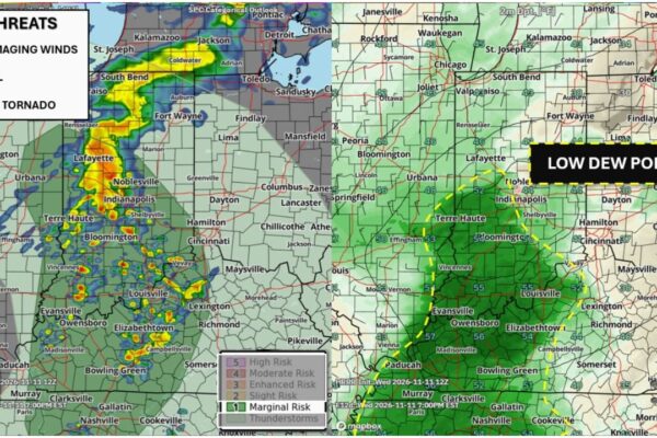
This is the same storm system that brought a Level 1 Marginal Risk for severe weather to the Mid Mississippi Valley earlier in our forecasts.
What This Means for You
Most people will see a quick burst of heavy rain, lightning and gusty winds as storms pass through. In the strongest storms, gusts of 40 to 60 mph could knock down tree limbs and cause scattered power outages. Hail could dent cars or damage plants.
The evening commute could be affected, especially around Indianapolis, Louisville and Cincinnati. Heavy rain may reduce visibility and make roads slick.
How to Stay Safe
- Watch the radar between 4:00 PM and 9:00 PM ET and keep weather alerts turned on.
- Move indoors when storms approach, and stay away from windows.
- Park cars in a garage or under cover if hail is possible.
- Secure outdoor items like patio furniture, trash cans and decorations.
- Know your safe place, such as an interior room on the lowest floor, in case a tornado warning is issued.
- Avoid driving through heavy downpours and flooded roads.
Boxingessential.com will continue tracking evening storms, gusty winds and hail across Indiana, Kentucky and Ohio, including Indianapolis, Louisville and Cincinnati, and will provide updates as storm timing, warnings and damage reports develop.
You may also like
Leave a Reply